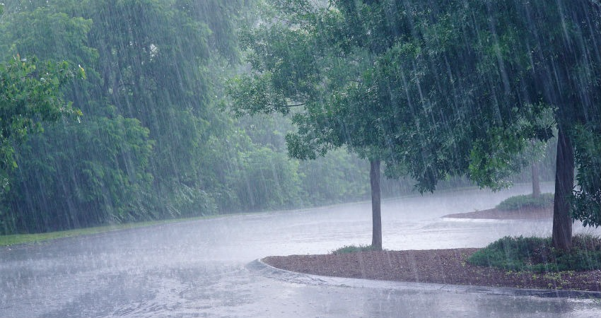
Maharashtra: The southwest monsoon has made an unusually early arrival in Maharashtra, reaching regions like Marathwada and Vidarbha on Wednesday—well ahead of the typical schedule. The monsoon line now stretches through key locations such as Mumbai, Ahilyanagar, Adilabad, Dantewada, Rayagada, Agartala, and Goalpara.
According to the India Meteorological Department (IMD), the monsoon is expected to advance further into the remaining parts of Northeast India, Telangana, Sikkim, West Bengal, Chhattisgarh, and parts of Odisha within the next 48 hours. Traditionally, the monsoon sweeps across Maharashtra by June 15, but with nearly half the state already experiencing its influence, a full-fledged onset is likely sooner than usual.
A developing low-pressure area near the Odisha coast in the Bay of Bengal is forecast to intensify, bringing substantial rainfall to eastern states, including Bihar and Jharkhand, as well as the northeastern region. Additionally, a new western disturbance is set to affect the Himalayan belt starting May 29, leading to widespread moderate to heavy rain across northern, northwestern, and central parts of India.
The IMD has issued heavy rainfall alerts for the Karnataka coast, South Interior Karnataka, Kerala, and Tamil Nadu through Thursday and Friday. These regions, along with several others, are expected to receive significant precipitation in the coming days due to active monsoonal systems.
After a period of torrential rainfall, many parts of Maharashtra, including Konkan, Madhya Maharashtra, and Vidarbha, experienced clearer skies on Wednesday morning. However, intermittent rain resumed by afternoon. A yellow alert has been issued for the state, cautioning of isolated heavy showers over the next three to four days.
The early arrival and intensity of rainfall have taken a toll on agriculture in Maharashtra. Onion crops and various other produce have been damaged, with flooding in fields sparking fears among farmers about the need for double sowing—a costly and labor-intensive process.
This extreme rainfall is not confined to Maharashtra. Cities like Delhi, Bengaluru, and Mumbai have all witnessed record-breaking rainfall for the month of May. Several states across India are experiencing unprecedented weather activity, reshaping long-standing climate trends.
May 2025: Maharashtra Logs Wettest May in History
This May has officially become the rainiest on record for Maharashtra. Between May 1 and May 28, the state recorded 149.7 mm of rainfall—an astonishing 1,225% above the long-term average of 11.3 mm. The previous highest May rainfall of 113.6 mm, observed in 1918, has been surpassed by a significant margin.
Major rainfall surges across districts include:
Mumbai City: 5,604% above normal
Raigad: 5,022%
Pune: 2,164%
Thane: 2,526%
Nashik: 783%
Nagpur: 810%
Kolhapur: 665%
These extreme weather conditions are the result of a combination of meteorological factors—including persistent western disturbances, low-pressure systems in both the Bay of Bengal and Arabian Sea, and changing wind currents—leading to widespread, unseasonal precipitation across the region.


